
Conversations, Conferences, and Continuing Education
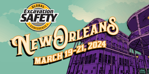
One of the ongoing missions of the Geospatial Information and Technology Association (GITA) is continuing education. I had the honor of assisting in GITA’s continuing education mission by participating in this year’s CGA 811 Excavation Safety Conference & Expo in Tampa this past March.
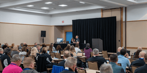
GITA was proud to have recruited several geospatial specialists to address conference attendees on the latest geospatial technologies improving utility protection, as well as screening several other papers submitted for the conference and placing GITA’s “seal of approval” on the educational value of the papers presented.
Geospatial talks presented at the conference detailed the latest technologies and best practices on a variety of subjects including: Damage Assessment and Recovery, Augmented Reality, Excavator Mounted GPS, GIS Data Aggregation, 3D Mobile Mapping Solutions, ASTM Standards, and Location of Buried Facilities via UAV-based Magnetometers, among other topics.
GITA’s partnership with the conference as an “endorsing organization” provides benefits to both the geospatial community as well as the utility protection community. Sharing resources, subject matter experts and exhibiting at the conferences helps both disciplines to cross-pollinate ideas and provides a greater sense of what the geospatial discipline can do for the utility protection community.
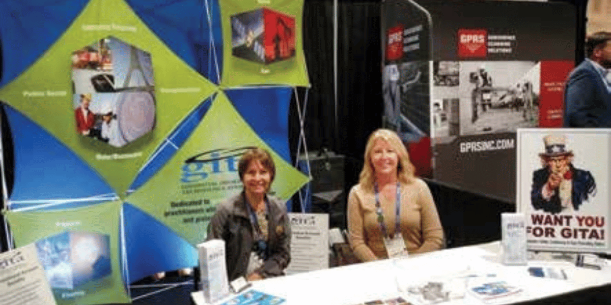
While at the conference, I had the ability to man GITA’s booth on the exhibitor floor. This afforded me an opportunity to discuss the value of GITA membership, but also to have conversations with many attendees regarding various geospatial technologies; describing how those technologies may assist their departments and organizations with their utility protection needs.
Nearly all our booth visitors work with maps, mobile online GIS systems, or have communication with their firm’s GIS department either as a client, consuming maps and data, or providing as-built and survey data back to the GIS department for database maintenance and mapping.
Participating in the Conference also allowed me to engage the local GITA Tampa – St. Petersburg membership who assisted with the GITA booth and with several geospatial presentations. As GITA did last year in Phoenix, these opportunities to engage and involve local leadership help to strengthen ties between the national and local chapters and allows us to “wave GITA’s flag,” showing that we’re not only alive but thriving as a professional and educational association!
Recruiting speakers and promoting the association via conferences, though, is not all we do. GITA has a very active webinar schedule bringing geospatial thought leaders to your desktop. Additionally, we host an online learning center with archives of past webinars and presentations available for viewing at your convenience.
Reaching out to the next generation of geospatial and GIS professionals is also a large part of GITA’s mission. We encourage participation in industry events by students and via student chapters at several universities. GITA and several of its local chapters offer scholarships granted to students focusing on geography, GIS and allied fields such as surveying, civil engineering or geology.
With the education of our next generation of practitioners provided for, I would hope GITA continues these cross-pollination efforts not only here but with other industry associations that may have an interest and need for geospatial professionals to assist their organization’s mission and to keep the conversations, conferences and continuing education going!
Mark E. Limbruner GISP is a geospatial professional with over 37 years of experience. He is a director and past-president of GITA, and currently manages a GIS Department for Range Resources Corporation. Mark can be reach at melimbruner@gita.org.
![ESM Sidebar Ad[87]](https://excavationsafetyalliance.com/hubfs/ESM%20Sidebar%20Ad%5B87%5D.gif "ESM Sidebar Ad[87]")

Comments