
The City of Houston consists of approximately 15,000 lane miles that are heavily used and need regular repairs. Like other major metropolitan areas, a significant part of their budget is dedicated to the maintenance and management of their roadways. In the past, the city relied on a Street Surface Assessment Vehicle (SSAV) to inspect and provide data for recommended maintenance for this immense quantity of roadways. The data gathered by the SSAV resulted in a large amount of GIS data that required a system able to quantify and interpret it. While the system already in place was somewhat effective, in 2015, Houston decided to re-purpose a single SSAV vehicle into what would be called a Ride-Quality Measurement Vehicle (RQMV). This updated vehicle would add advanced capability to Houston’s road monitoring and maintenance programs.
Houston’s objective was to better analyze where to invest their limited funds for repairs while achieving the best Return on Investment (ROI). They selected Indigo Beam and Argis Solutions to implement a machine learning and image recognition project utilizing this repurposed RQMV. Machine learning is when you “train” or “teach” a computer, through algorithms, to make decisions that, previously, human interaction would have been required. In this project, specifically, the computer was trained to recognize patterns and make decisions based on those patterns. Image recognition is when a computer is programmed to recognize specific objects within a photo or video sequence. In this case, the computer was taught to identify pavement and “not pavement.” With the algorithms developed for the project, it also learned how to record pavement area.
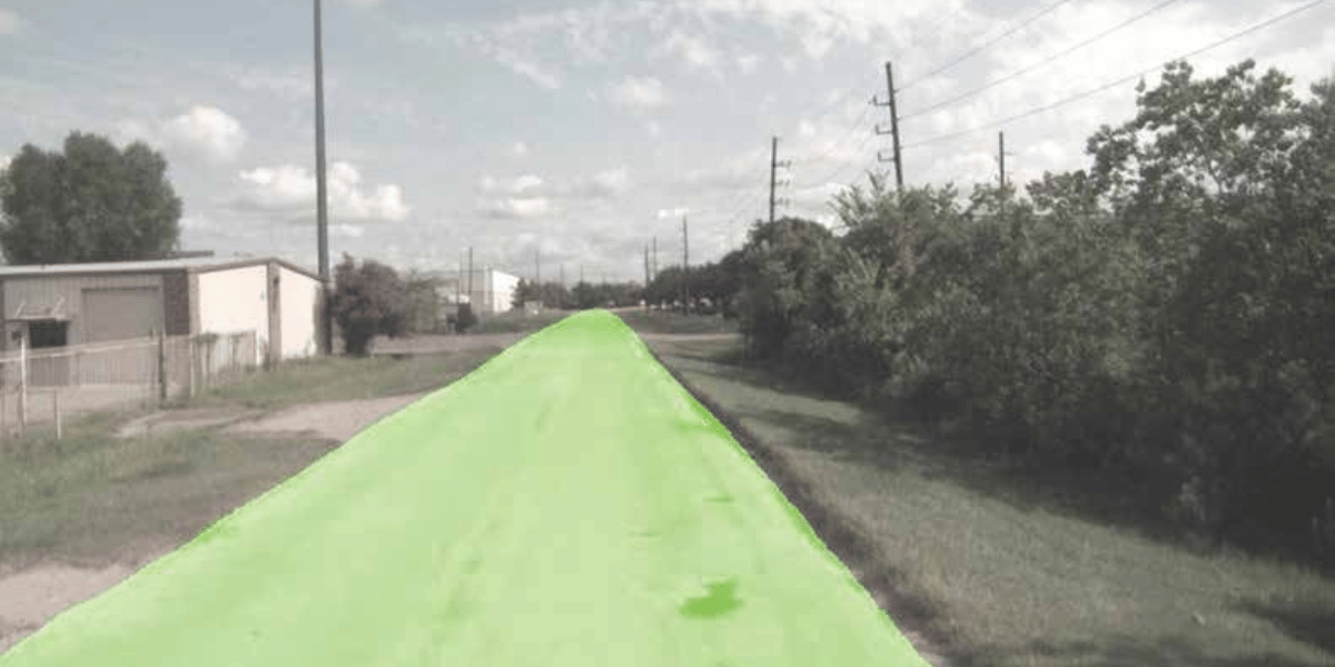
The project began with the Street Surface Assessment Vans driving the city and rating the roadways using the International Roughness Index (IRI) scores and PCI (Pavement Condition Index) scores while capturing video of the streets for the entire City of Houston. Once the SSAV data gathering was completed, the newly upgraded RQMV was sent out to record and rate project work sites and problem areas both before and after road work and maintenance repair had been completed. By adding the RQMV assessment and combining the rating work between the larger SSAV runs and updated RQMV data into their workflow, the City of Houston generated a wealth of robust ArcGIS data.
It was necessary to design and build a sophisticated migration tool to pull the data collected and move it to Houston’s data servers. This migration tool pulls files, interprets those files, allows selection of critical information from those files, and compiles that data appropriately and as needed into Houston’s database. With a system in place to monitor and track this data, Houston should be able to improve current workflows and determine the priority of roadwork based on network or council district.
The system continues to be fed thousands of images and videos, allowing operators to make quality decisions regarding their roadways. Whether gathered in meeting conference rooms or in individual offices, Houston Public Works management can immediately know the ridequality condition of a lane that was driven in the wheel path for any given road, the possible maintenance requirements of that road, and hold contractors responsible for the work they provide.

Technical Components of the Street Surface Assessment Vehicle
Argis Solutions specializes in delivering high-quality innovative technology that merges ArcGIS geospatial data and Augmented Reality for businesses around the world. For more information go to www.argis.com.
![ESM Sidebar Ad[87]](https://excavationsafetyalliance.com/hubfs/ESM%20Sidebar%20Ad%5B87%5D.gif "ESM Sidebar Ad[87]")


Comments